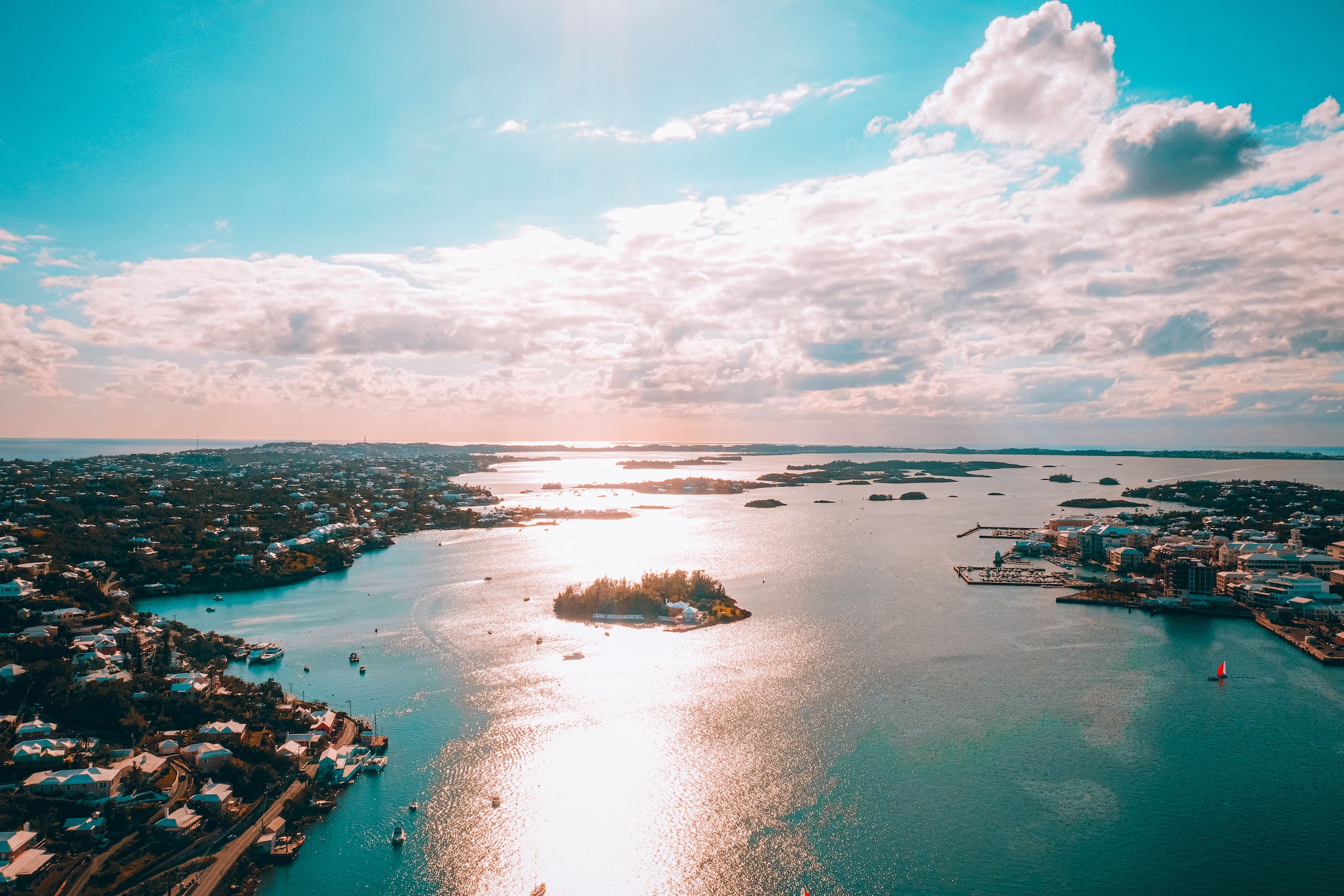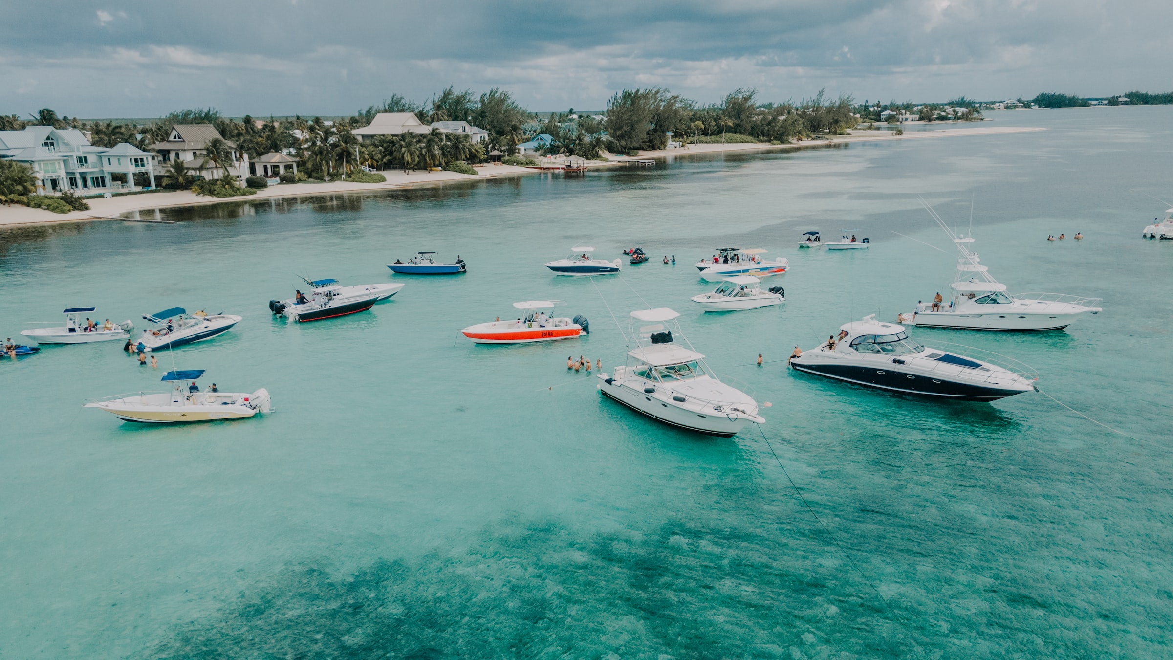
Cayman Islands
Population 78,554
Location: Cyprus
Population: 18,195
The Sovereign Base Areas of Akrotiri and Dhekelia are areas of land on the island of Cyprus that have remained under British sovereignty after the 1960 Treaty of Establishment created the Independent Republic of Cyprus.
Nowadays, these bases act as some of the UKs most important off-shore military stations, specifically in the Mediterranean (along with Gibraltar) and Middle East.
Location: Caribbean
Population: 15,753
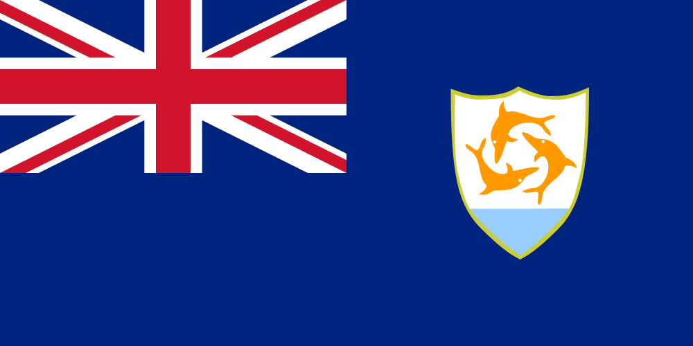
Anguilla is the most northerly of the Leeward Islands in the Eastern Caribbean. Colonised in 1650, Anguilla has had an eventful shared history with its neighbour St Kitts and Nevis.
Location: South Atlantic
Population: 806
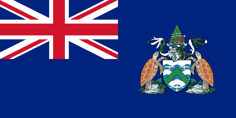
Located 3,200km east of Brazil, Ascension Island is a volcanic island home to many endemic species - 22 plant, 26 invertebrate and 7 fish types. Ascension island is a dependency of St Helena, where Napolean was a prisoner and later died.
Location: Antarctica
Population: 0 (many penguins)
The British Antarctic Territory is by far the largest in land mass out of all the BOTs. The territory was formed on 3rd March 1962, although claims go back as far as 1908.
The territory is inhabited by the staff of research and support stations operated and maintained by the British Antarctic Survey, among others.
Location: Indian Ocean
Population: 3,000 military personnel/contractors
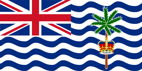
Located midway between Tanzania and Indonesia, The British Indian Ocean Territory covers 640,000 sq km of ocean with a land area of only 60 sq km.
These islands were uninhabited until the late 18th century, where France established coconut plantations in 1793.
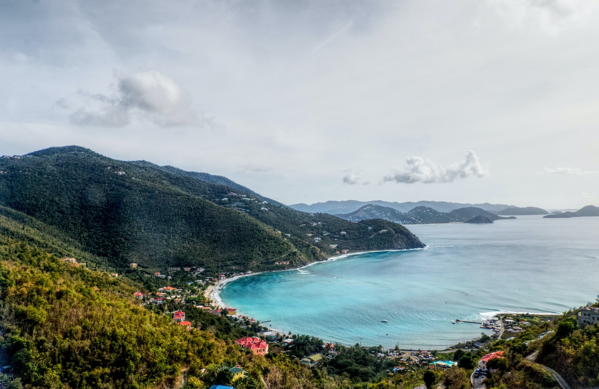
Location: Northern Caribbean
Population: 30,030
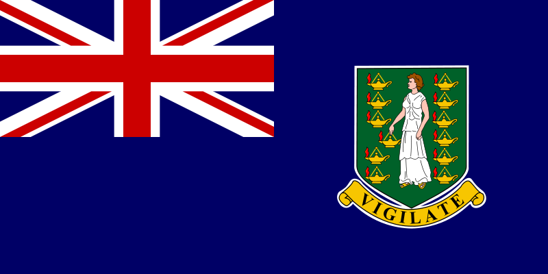
The British Virgin Islands, and their counterparts the United States Virgin Islands, Spanish Virgin Islands and Puerto Rico comprises over 60 islands, islets and cays.
Discovered by Christopher Columbus in 1493, the islands came into British possession in 1666 when planters took control from the original Dutch settlers. These islands have remained as a British colony since 1672.
Location: Eastern Caribbean
Population: 4649
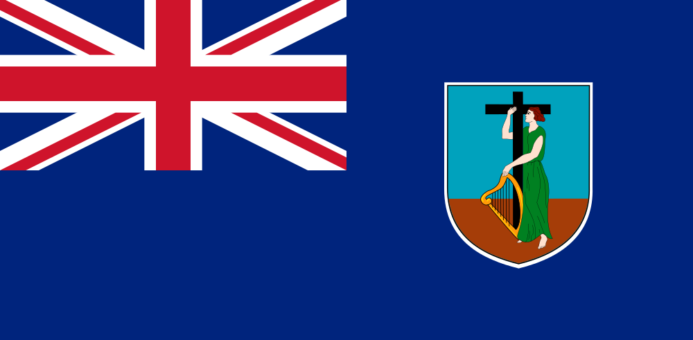
Montserrat is named after a monastery in Spain by Columbus during his second great voyage in 1493. The island became a British Colony in 1632.
Unfortunately, the population and economy isn't doing great anymore, since a volcano (known as The Soufrière Hills) erupted in 1995 and forced most of the population to move to The United Kingdom. Pre 1995, the population was over 11,000.
The UK continues to support Montserrat financially since the volcanic activity.
Location: South Pacific Ocean
Population: 47
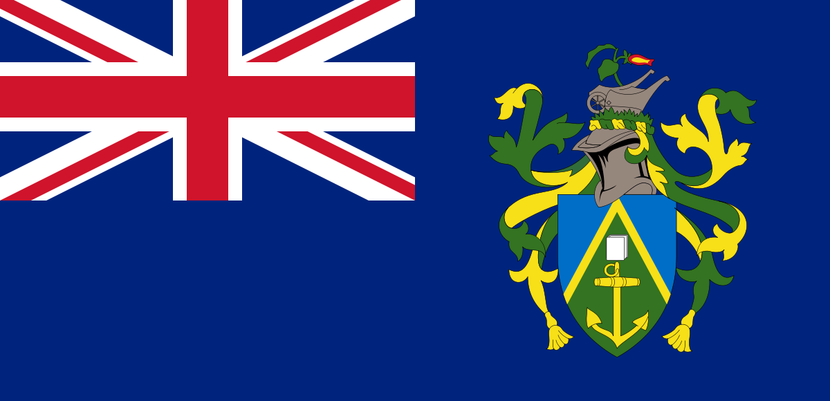
The Pitcairn Islands comprise Pitcairn Island itself and three uninhabited islands, Henderson, Ducie and Oeno. Pitcairn is approximately 3km long and 1.5km wide.
Pitcairn Island was originally settled by British mutineers aboard HMS Bounty in 1789 when their Polynesian counterparts realised the British maps mislabeled the island, leaving it essentially "invisible" to Royal Navy crews in the area searching for them.
For more information, Yes Theory recently published a YouTube video on these islands.
The island of Henderson has been designated as a UNESCO World Heritage Site.
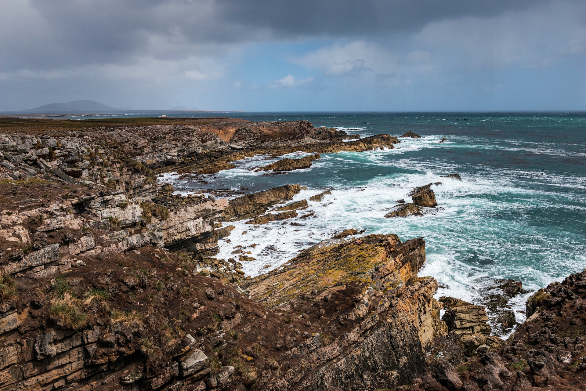
Location: South Atlantic
Population: 0 (also many penguins)
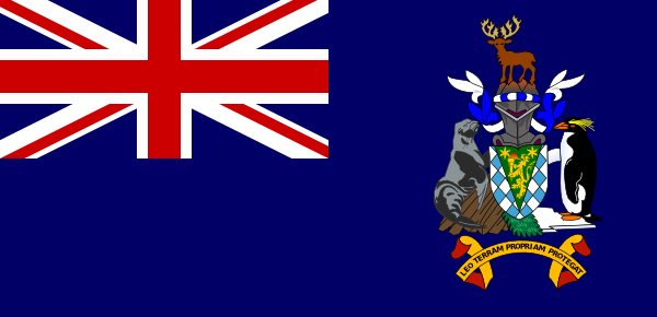
South Georgia is situated 1290 km south east of the Falkland Islands and occupies an area of 3,755 sq km. It is a mountainous sub-Antarctic island, more than half of which is permanently ice covered, with Mount Paget rising to 2,934m.
Its unique natural environment is internationally recognised and featured in the BBC’s Frozen Planet series in 2011. South Georgia has a prominent history as the gateway to Antarctica for polar explorers, including Sir Ernest Shackleton.
Location: South Atlantic
Population: 4,439
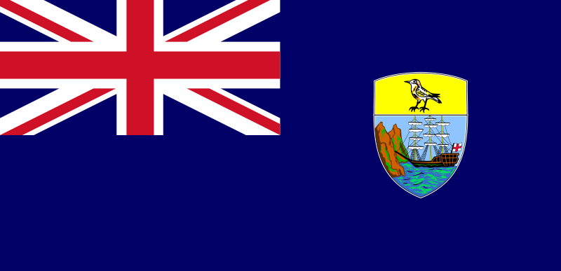
Situated in the South Atlantic, St Helena is a little island of volcanic origin that is 47 sq miles in size. It is 2,900 kilometres from South America and 1,930 km from the west coast of Africa.
Before Thomas Cavendish, an English seafarer, discovered it in 1588, it was kept a secret. A charter issued by Lord Protector Richard Cromwell in 1658 gave the British East India Company permission to colonize and fortify the Island, which it accomplished the following year. From 1815 until his death in 1821, Napoleon lived in exile on St. Helena.
It became a Crown Colony in 1834. St Helena, as of 2016, can be accessed by sea and air. This is due to the new airport constructed in 2016 with funding from the UK government to assist the economy into becoming a prosperous, vibrant municipality.
Location: South Atlantic
Population: 245
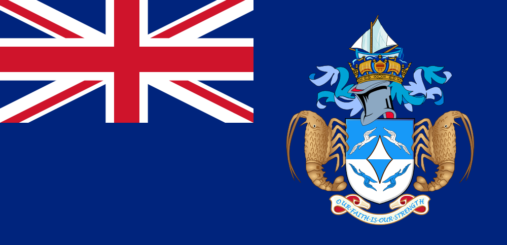
Tristan da Cunha is a small, isolated island of volcanic origin in the South Atlantic. It is almost circular in shape and has an area of 98 sq km. Gough Island, Inaccessible and Nightingale islands make up the Tristan da Cunha Group. A team of South African meteorologists live on Gough.
It was garrisoned and possessed by the British in 1816. There are no air services. Transport to and from the island is provided by nine return sailings a year from Cape Town by fishery concession vessels and a further annual visit by the South African research vessel, SA Agulhas.